Photogrammetry
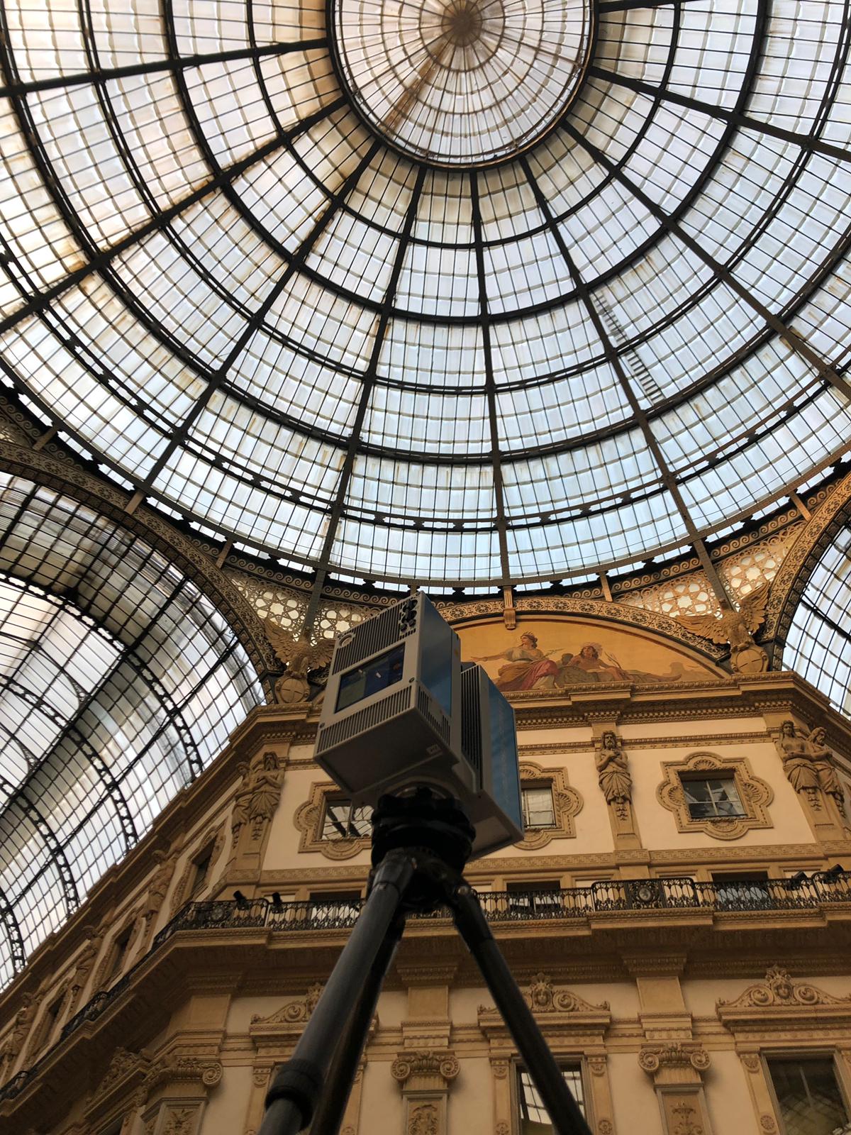
The photogrammetric survey has about a century of life and can be considered the middle ground between the direct survey and the 3D laser scanner. In fact, this type of survey provides us with a series of stereo photographic images that can be measured in three dimensions. In practice it offers the advantages of the 3D laser scanner with regard to shooting, which takes place very quickly and allows you to stay at a distance from the object detected, and those of direct relief with regard to the return, which can be done even at a distance of years. The images can be taken from the ground or by mounting a metric camera on a remotely piloted Aereomobile (APR, or also called a drone), reducing distortion problems and eliminating the post-processing processes of the images obtained that will not have to be straightened. It is possible, thanks to the technological development of the sensors that led to the marketing of sensors of reduced dimensions but ensuring a high quality, mount on the APR, in addition to the metric chamber (simultaneously or alone), also a thermal imaging camera to obtain information related to degradation of the material that characterizes the artifact being analyzed.
The measurable point cloud (points cloud) will be delivered together with a software that allows the visualization, measurement and in-depth analysis of the data produced.

ADVANTAGES
- The most readable point cloud thanks to the color coordinate
- A textured 3D model
- The solid modeling of the work
- The extraction of orthophotos
