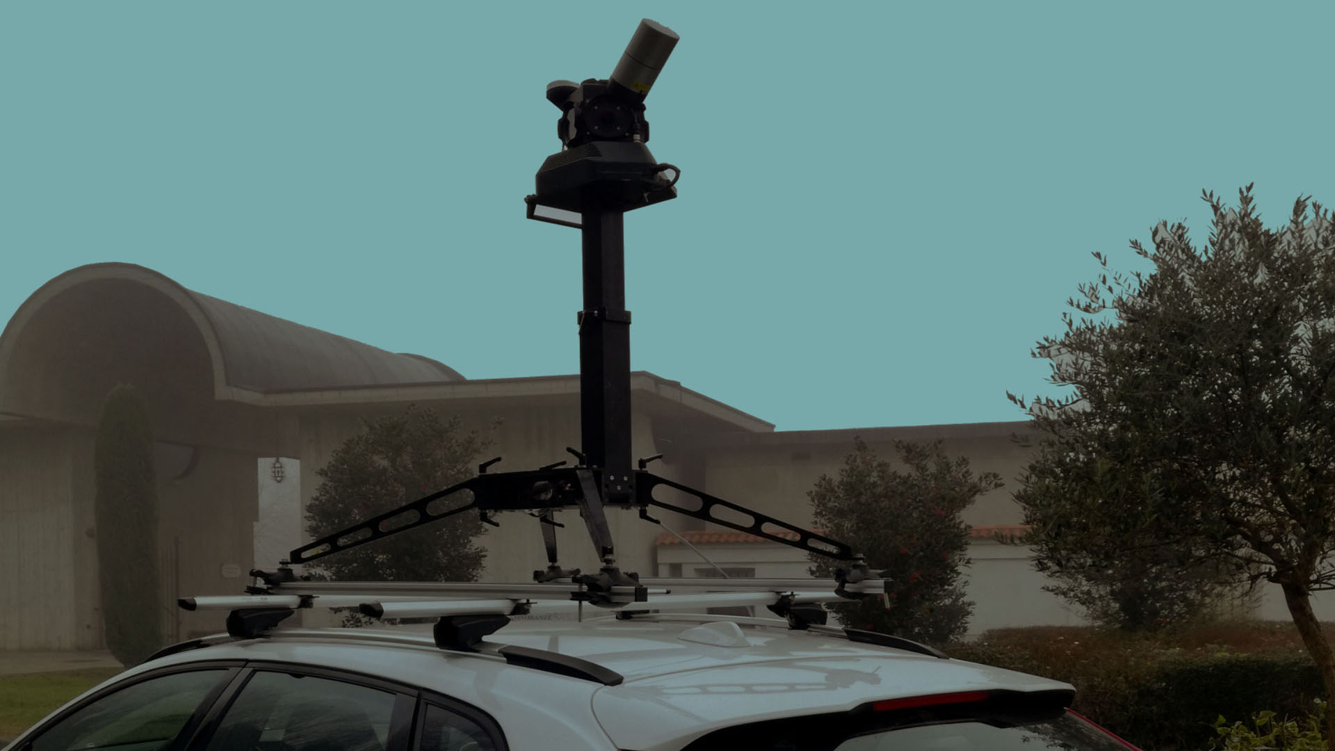
MOBILE SURVEY: the dynamic laser scanner surveys
Jenuary, 21, 2020
Topic: Laser scanner
(5 min read)
In recent years we have seen continuous technological evolutions of tools, software, techniques and relevant methodologies, which have raised the level of work quality significantly.
Without a doubt, keeping up with technology is the key to being successful in this sector and thus acquiring the necessary means to face every situation in the best way.
If we talk about scanning buildings, infrastructures, works of art or any other type of “object” we have already seen in a precedence what problems can arise during a survey (see What are the most common unexpected events during a 3D laser scanner survey and how solve them?) and which techniques and tools can best solve them (see THE BEST INSTRUMENT: how to choose the instrument according to the detection needs).
Timing has always been a critical factor, especially when large areas have to be scanned. Acquiring a large amount of data could be a problem, especially when the acquisition phase takes place through a terrestrial laser scanner, in fact the necessary scans would be multiple, tiring and demanding.
What if you could scan by moving?
We are talking about particular laser scanners, mounted through special systems on different types of vehicles, which, moving at moderate speeds (about 30 or 40 km / h), allow you to scan a large area in a short time.
Entering the technical detail, the instrument turns out to be a mobile laser scanning system that allows the acquisition of 3D data by means of one or more laser scanners mounted on a mobile platform.
In general, in order to function in the most efficient way, a mobile laser scanning system must be composed of:
- at least one laser scanner, providing a 2D line scan mode
- an IMU and GPS system that measures the position and orientation of the mobile platform within the world geodetic system WGS84 (the differential GPS system generally consists of a fixed base station and a so-called rover on the mobile platform)
- software designed to combine the information of the geometric profile (laser scan data) with the position and orientation data of the scanning platform
- a rigid mobile platform and amortized optional synchronized digital cameras, mounted on the same platform.
Advantages
There are several advantages deriving from the use of a mobile mapping system:
- the collection of spatially correct data on a large scale; instead of examining individual buildings or areas, mobile mapping systems can be implemented to map entire cities or hundreds of kilometers of transport routes
- numerous applications such as: surveys of roads, cities, railways, viaducts, airports, tunnels, tunnels, large areas, etc.
- almost all instruments are integrated with position and attitude sensors, a GPS system and an IMU (Inertial Measurement Unit) system
- time-efficient data acquisition in large target areas: it is possible to collect a high-resolution data set of an urban neighborhood in a few hours or to generate a technical drawing of 60 km of highway in a single day
- automatic recording of 3D data in a common coordinate system.
As anticipated being a technology however still in development there are also some disadvantages including:
- highly expensive tools
- the accuracy of the data is not comparable to a traditional terrestrial laser scanning system. In fact, being the instrument that acts in movement, natural complications arise such as vibrations, noise, etc. which affect the quality and accuracy of the data, as well as the type of lidar sensor.
Conclusions
There is little to say, undoubtedly we are talking about a revolutionary tool. In a reality where time is a fundamental variant, the mobile laser scanner can be a valid answer.
Let’s not forget a very important aspect: if the final objective of the instrument is to scan large areas, even if the acquired data are not as accurate as the data deriving from a terrestrial laser scan, the percentage of error is extremely tolerable given the vastness of the ‘scanned area, thus making the mobile tool an excellent solution to significantly reduce scan times.
