SCAN TO BIM
The BIM (acronym of Building Information Modeling) is an optimized approach to the design (Modeling) based on the sharing and exchange of information (Information), thanks to the support of software and IT means, among the various actors that contribute to the design and implementation of a building (Building) definable: “shared use of digital representations of objects constructed to facilitate the design, construction and reliable basic decision-making processes” Role of BIM in the construction industry (through its actors are these Architects, Engineers, Surveyors, Surveyors, Builders, etc.) is to support the communication, cooperation, simulation and improvement of a project along the complete life cycle of the built work, going beyond the mere construction phase and going to the final stages of life of the work
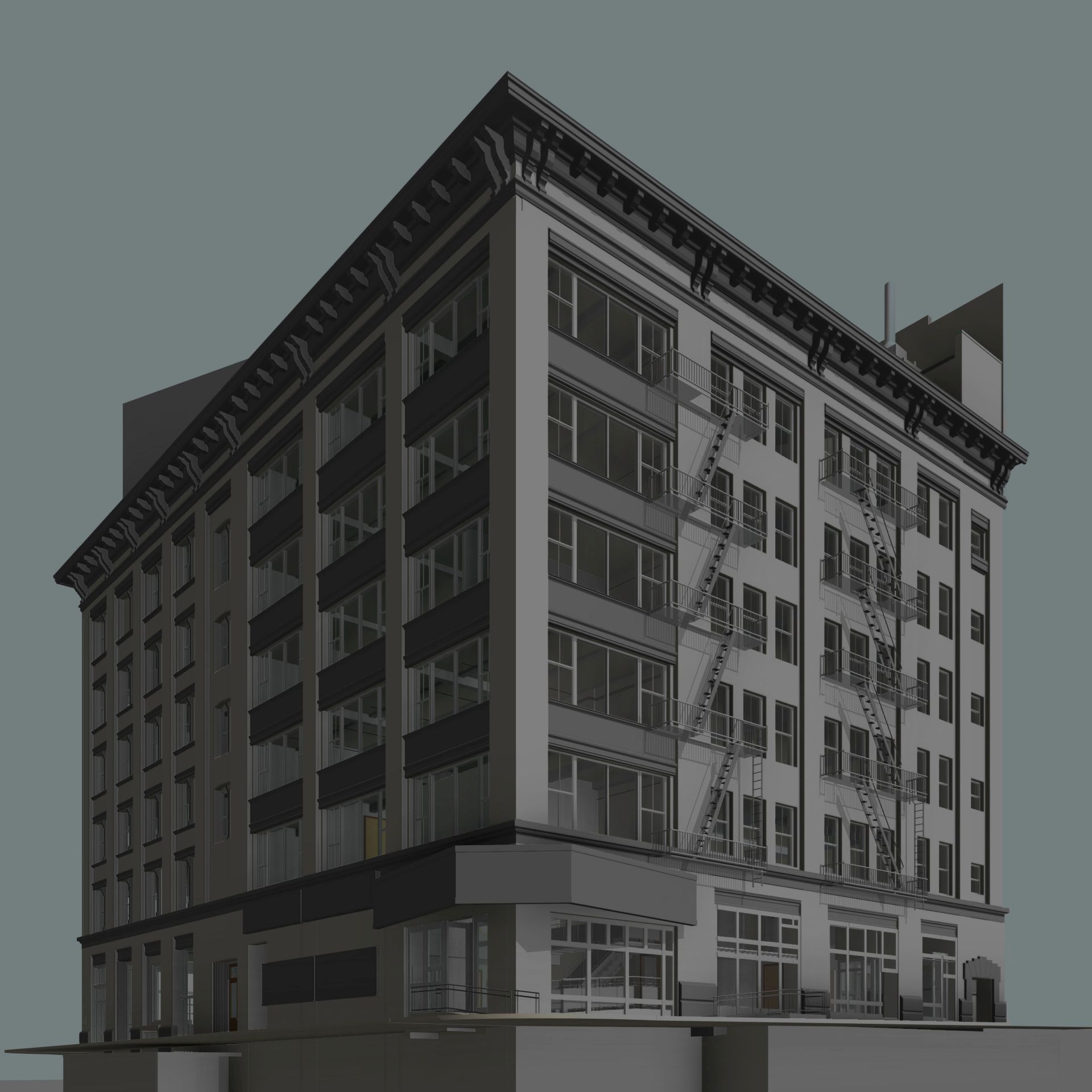
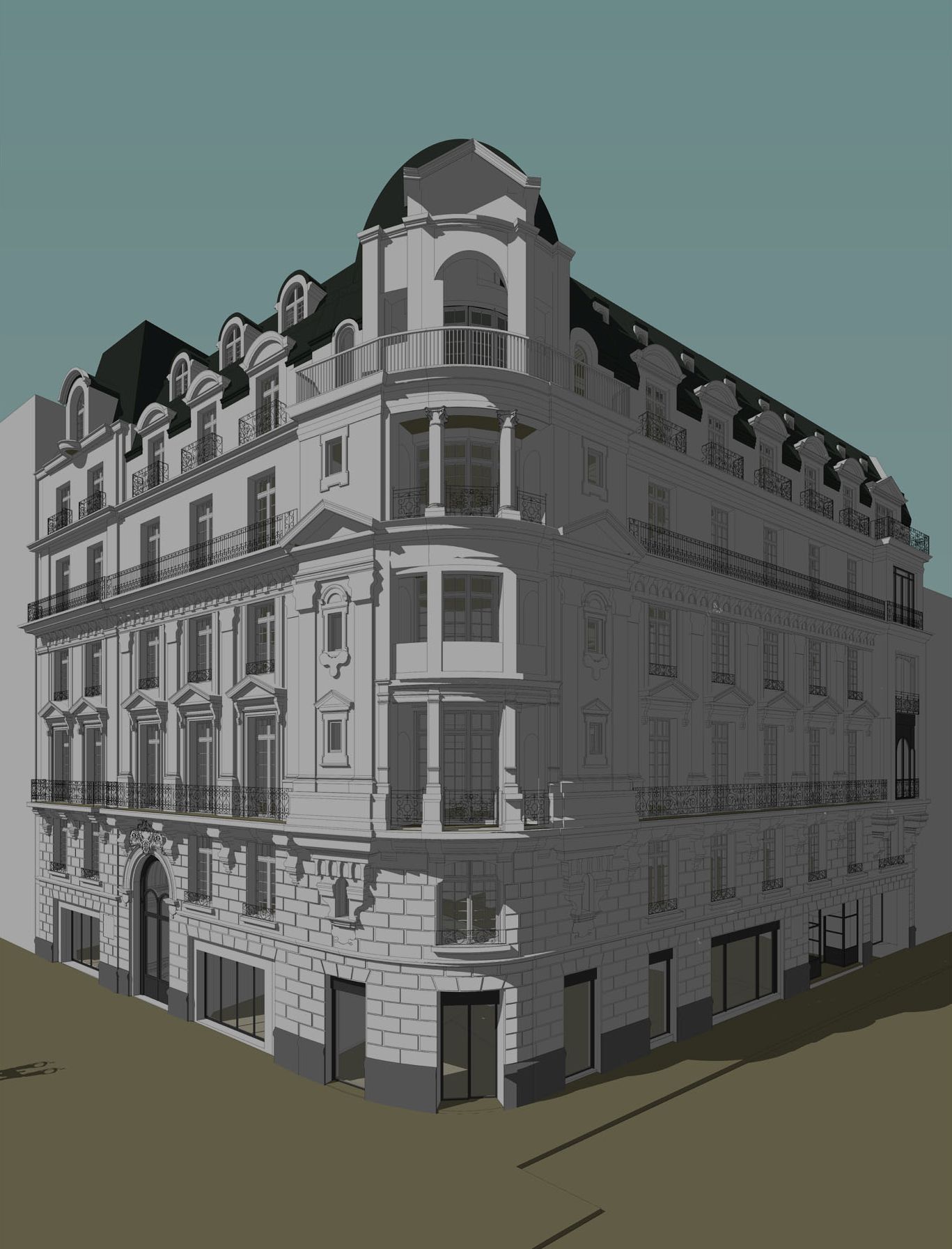
The 3D laser scanner survey technique captures and represents geometric information in the form of three-dimensional point clouds, from which it is possible to extract the 2D / 3D model. We at 3DScan are able to create 3D BIM models starting from point clouds or 2D graphic representations provided by the customer.
Most of the 3D models we make are produced starting from a laser scanner survey carried out by our teams with proprietary instrumentation, checked and verified by personnel specialized in making BIM models.
One of the applications and variants of BIM is the Topographic BIM. When in certain cases the designer needs to contextualize his work in a 3D environment that responds to reality, 3DScan is able to satisfy these needs through the proportional reconstruction of an urban landscape starting from laser scans supplemented by topographical surveys. The final result consists of a 3D CAD model proposed also with a level of detail that is equal to the representation of the facades of the buildings

WHAT BIM DOES
- Analyze the spatial evolution of the project (3D)
- Analyze the temporal evolution of the project and analysis of the construction phases, being able to perform interference analysis (clash-detection) also on different time levels (4D)
- Analyze the construction costs for financial estimates and for the management of payments during construction (5D)
- Manage and plan future maintenance operations for ordinary or extraordinary property management
- Manage the construction and collaboration between the different actors of the construction
